
Space technology startup HEO will add a new source of high resolution satellite imagery to its non-Earth imaging platform after partnering with BlackSky, a US-based space intelligence company.
The partnership, announced on Thursday, will bring BlackSky’s constellation of low-earth orbit (LEO) satellites into the Sydney-based company’s non-Earth imaging (NEI) sensor network.
BlackSky will provide mid-inclination orbit, high-resolution imagery, which is expected to “increase the feasibility of capturing NEI data over the middle latitudes of Earth”.
The data will also be used to improve HEO’s automated object detection and identification algorithms, HEO said announcing the space domain contract for an undisclosed seven-figure sum.
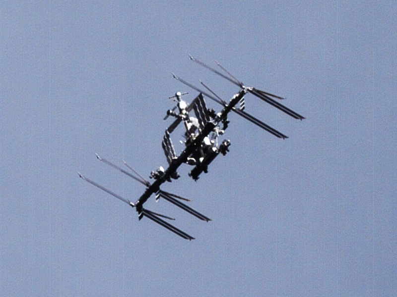
BlackSky does not currently perform NEI across its constellation of 16 LEO satellites equipped with high-resolution cameras. HEO currently has access to 47 in-space cameras.
But by activating NEI, BlackSky will be able to tap into “unused capacity typically associated with satellites passing over the ocean or satellites in eclipse, traveling across the dark side of Earth.”
HEO chief executive and co-founder William Crowe said that “adding BlackSky’s high-resolution constellation to HEO’s sensor network… will unlock even more applications of NEI data”.
The objective of the partnership is to enable customers to request NEI products be taken through BlackSky satellites using HEO Inspect, an automated tasking and delivery platform.
Images and metadata is then transferred back to HEO Inspect for processing using object detection and identification algorithms before analytics reports are generated on the satellite’s attitude, location, subsystems identification, and analysis of the satellites regular actions and behaviours.
In August, Dr Crowe said the company is aiming to be capable of identifying objects in ‘high LEO’, or beyond 750km above the Earth, within six months. It is also on track to be active in geostationary orbits, altitudes around 36,000 km, in 2026.
BlackSky chief executive Brian O’Toole said the integration of automated tasking and receiving of non-Earth imaging products “unlocks additional value” from the company’s satellites and would quickly give customers usable intelligence about spacecraft and other on-orbit objects.
BlackSky is contracted with the United States Department of Defense to provide satellite imagery to train AI models that track moving targets as well as the National Reconnaissance Office to develop hyperspectral capabilities – imaging beyond the visible spectrum.
Do you know more? Contact James Riley via Email.