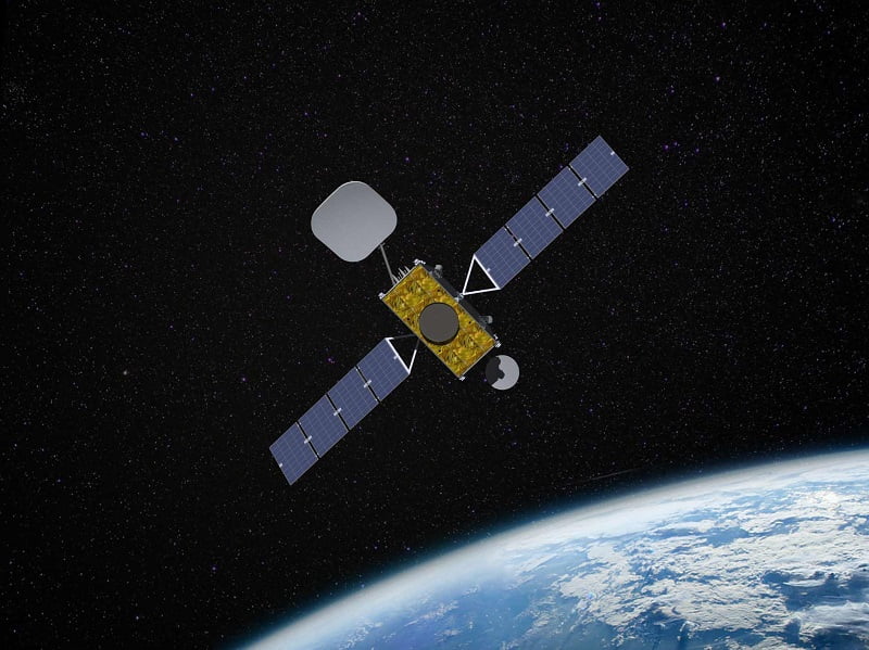
European-built smallsats from Inmarsat will be used to deliver decimeter accuracy to satellite positioning in Australia and New Zealand through the multi-billion-dollar Southern Hemisphere Positioning Augmentation Network from 2027.
The $187.4 million contract with the British satellite operator will see one of its three new I-8 satellites used for the SouthPAN satellite navigation augmentation network, which is also being delivered by Lockheed Martin under a $1.18 billion deal.
At just 1.5 cubic metres in volume, the I-8 satellites, which will be ready for service and launch in 2026, are around five times smaller than conventional geostationary satellites. They will be built by Switzerland-based satellite manufacturer Swissto12.

SouthPAN is a joint initiative between Australia and New Zealand that aims to deliver a 50-fold increase in satellite positioning precision on land and in surrounding maritime zones, from the current 5 to 10 metres down to 10 centimetres.
It will do this by augmenting existing global navigation satellite systems GPS and Galileo, delivering improvements in a range of industries including aviation, agriculture, transport, construction and mining.
Geoscience Australia is leading the development, deployment and operation of SouthPAN with Toitū Te Whenua Land Information New Zealand. The Australian agency first approached the market for the network in March 2020.
In September last year, the federal government announced Lockheed Martin as the winner of a 19-year, $1.18 billion contract to establish a network of ground stations and satellite uplink facilities for SouthPAN.
While the release of the “first precise, open-access positioning services” arrived in September, SouthPAN services are not expected to be fully operational across Australia and New Zealand until 2028.
SouthPAN signals will broadcast from the Inmarsat I-8 satellite from 2027, according to Thursday’s announcement, with Geoscience also approaching the market on Thursday or a second satellite navigation service to support SouthPAN.
According to Geoscience, both satellite services will “provide redundancy and resilience in SouthPAN that will ensure continuous broadcast of SouthPAN signals, enabling development and use of critical applications relying on SouthPAN”.
The satellites will also play a critical role in a “safety-of-life certified SouthPAN”, where its services could be “accessed or used by end users engaged in operations where life could be at risk, like landing an aircraft at an airport”.
Geoscience Australia’s space division chief Alison Rose this week said the new SouthPAN satellite service and ground infrastructure will initially bring benefits valued at $6.2 billion but that this would increase as new applications are developed.
“These services are a core component of the SouthPAN system, which will provide resilience in our precise positioning capabilities, especially for those applications that require high-integrity services with sub-metre level accuracy to improve safety and efficiency,” she said.
Inmarsat Global Government president Todd McDonell said SouthPAN offered “extraordinary potential”, including the ability to “save lives by enabling precision safety tracking” and help farmers “improve productivity through automated device tracking”.
“We have a long history providing services for governments in the moments that matter most, and we are delighted that our Inmarsat-8 satellites will continue that legacy well into the 2040’s,” he said in a statement.
Last month, there was a four-day outage of Inmarsat’s I-4 F1 satellite, forcing some farmers using the service to lose access to GPS services used in precision farming. Maritime safety systems were also impacted but were transferred to a contingency satellite as part of an early recovery processes.
The European Commission this week cleared US satellite company Viasat to acquire Inmarsat following an investigation that deemed the merger would “not raise competition concerns in the European Economic Area”.
Do you know more? Contact James Riley via Email.

